Reach RS4
All-band, base-and-rover receiver with tilt compensation, built for centimeter-level accuracy even in demanding conditions.
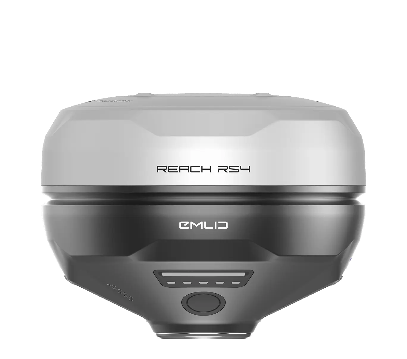
$3,899


Centimeter-accurate positioning for universities, research institutes, and student fieldwork.
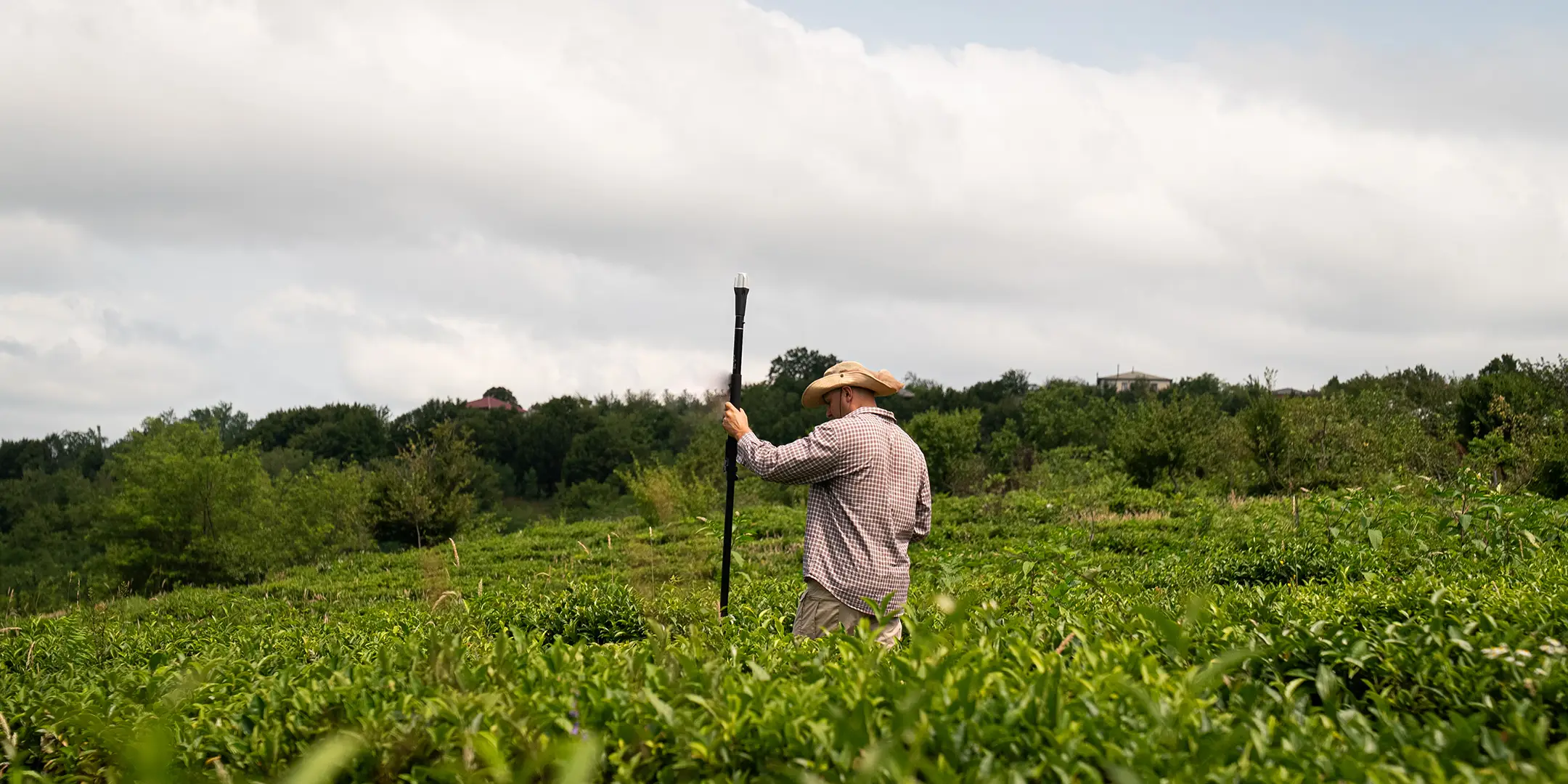
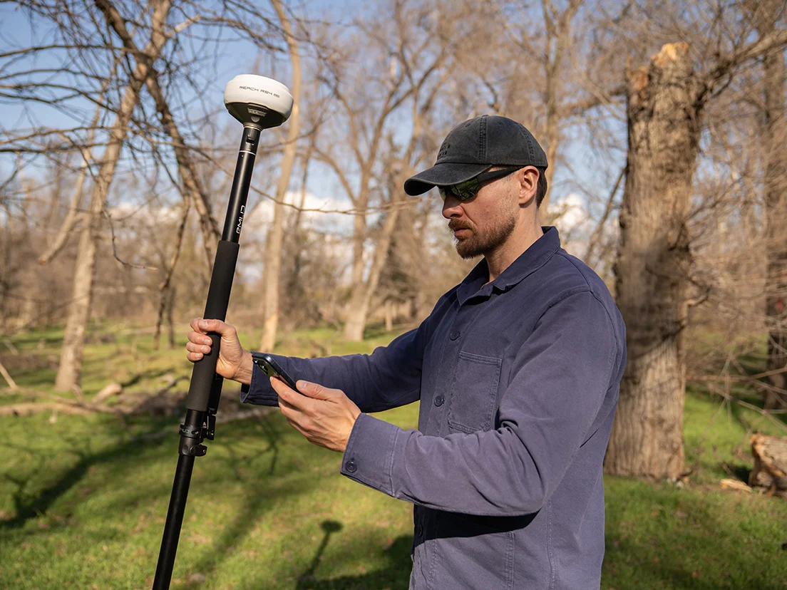
Field data collection, environmental monitoring, geodesy, agricultural studies, archaeology — anywhere your project needs reliable positioning data you can trust and reproduce.
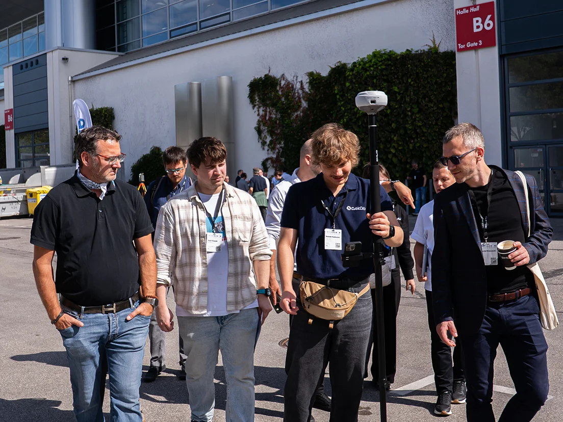
Hands-on RTK training for surveying, geomatics, civil engineering, and GIS courses. Give students real equipment and real workflows, not just theory.
All-band, base-and-rover receiver with tilt compensation, built for centimeter-level accuracy even in demanding conditions.
$3,899
Pocket-sized rover for straightforward data collection.
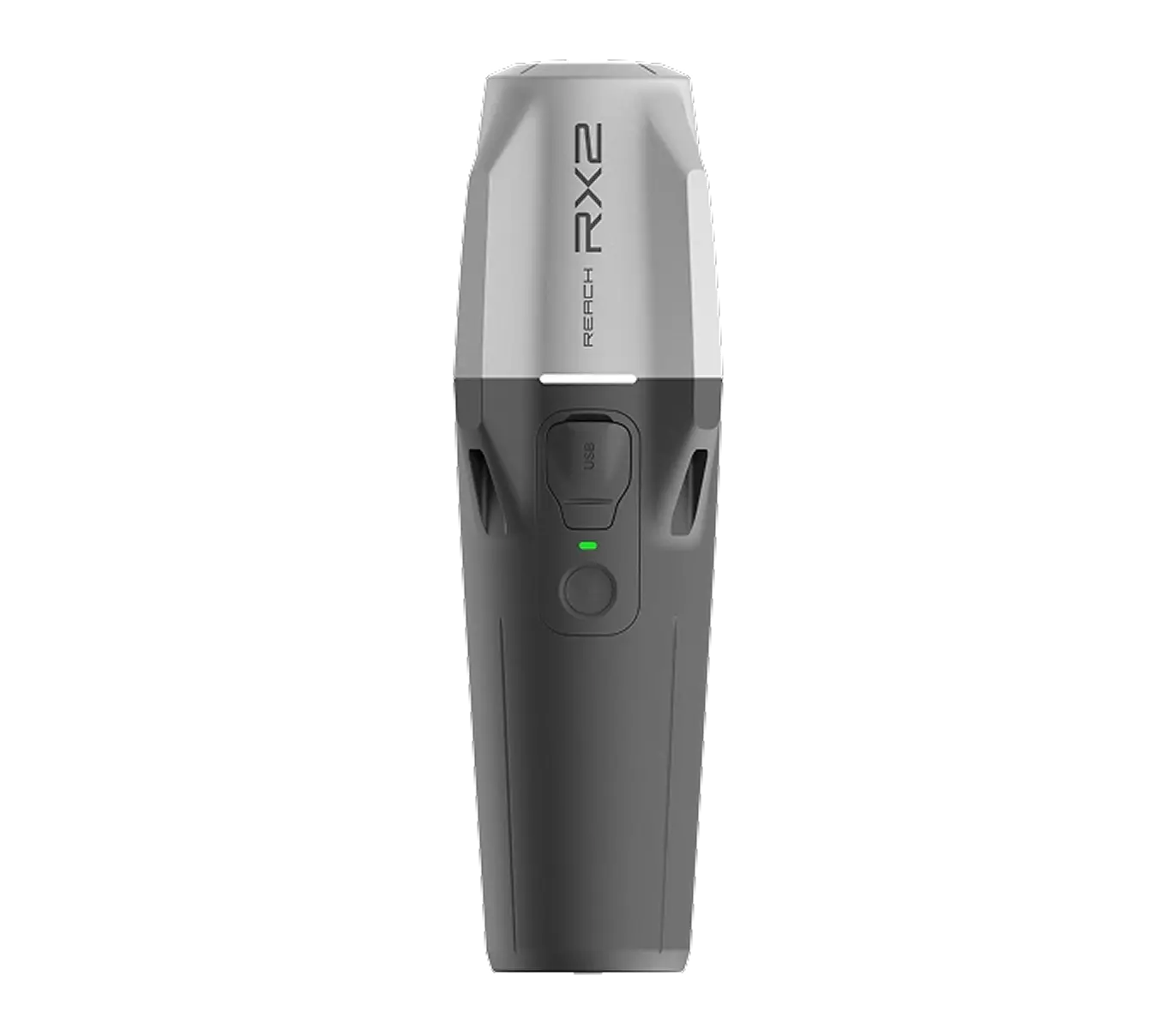
$2,399
Multi-band receiver with tilt compensation, for accurate measurements and integration with 3rd-party equipment.
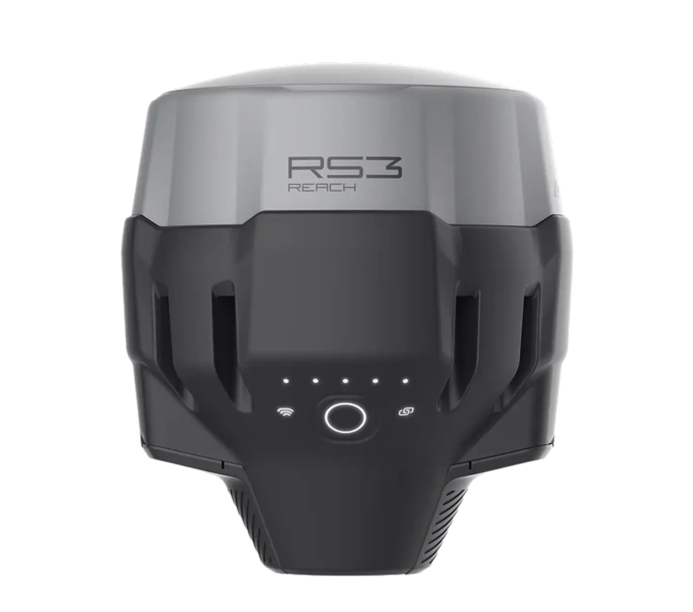
$2,999
Emlid Corrections is a network correction service, built into Reach receivers, for when you want to work with a single rover and skip setting up a base station.
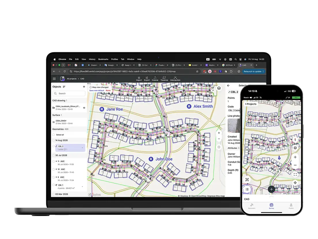
Emlid Flow is our mobile and cloud app for running the whole workflow: collect points, add WMS layers for context, then export your data as CSV, DXF, or Shapefile into GIS, CAD or any other software you already use. Everything syncs to the cloud in real time so you can access it from anywhere and collaborate with your team.
No specialized training required — students and first-time users are recording data within minutes.
Compact, rugged receivers that hold up across seasons of fieldwork.
Equip a whole lab or field course without blowing the budget.
We've also got you covered with our support service. Our team of Application Engineers will help you during your first steps with Reach receivers and with any further questions you may have.
The educational discount is available globally to students and staff of recognized educational institutions: schools, colleges, universities. We will only ask you for a proof of your status and a few lines about your project.
Academic and research institutions get:

10% off Reach receivers and Emlid Corrections

A free Emlid Flow Business plan
Fill out the form, and our team will verify your institution and send your discount code.
Logos of universities using Emlid devices
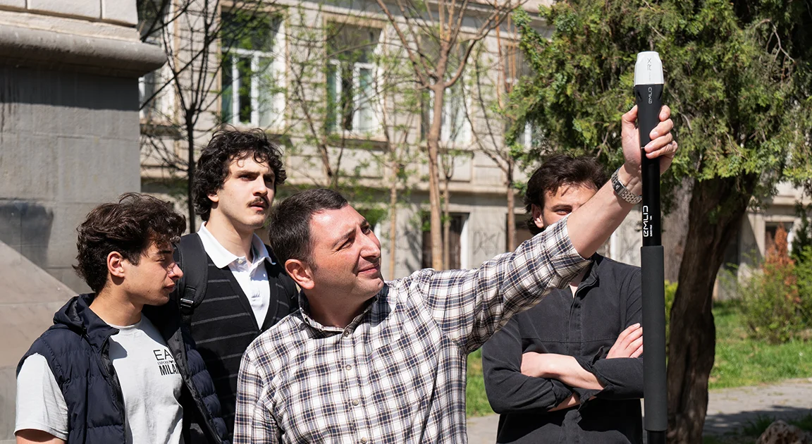
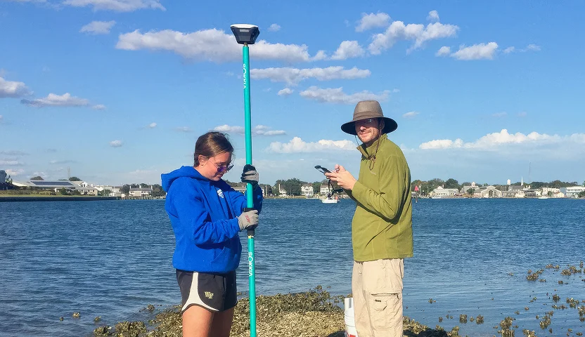
Reach receivers can help you get centimeter-accurate results during research. It can be a survey or drone workshop, archaeological, geophysics, bathymetry, or remote sensing project.
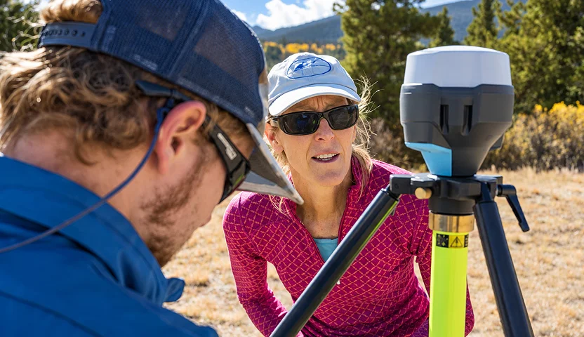
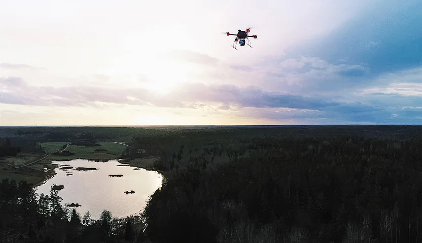
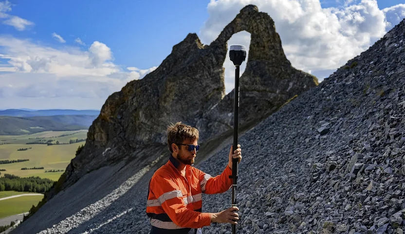
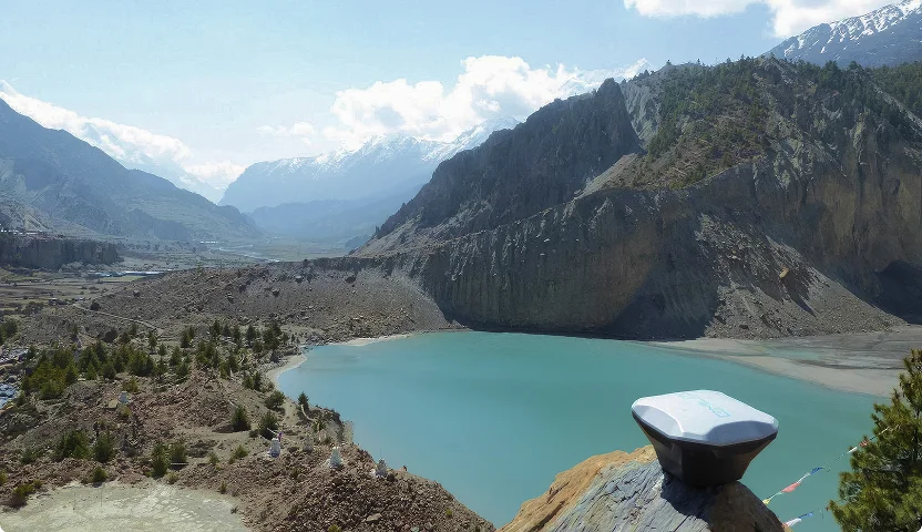
The educational discount is available globally. We only need a proof of your status.
After filling the form, you'll get:
10% discount for Reach receivers
Free access to Emlid Flow Business plan with ability to add unlimited numbers of people to your workspace
10% discount for Emlid Corrections
Emlid offers a 10% discount on Reach receivers and Emlid Corrections, and free access to a Business plan of Emlid Flow software for accredited universities and research institutions. You can apply for the discount using the form above.
Most academic fieldwork — topographic surveys, environmental monitoring, GIS ground-truthing — needs the centimeter-level RTK accuracy that comes standard on Reach receivers.
The Reach RX2 is the better fit for classroom teaching, since it's plug-and-play and lets a whole cohort learn GNSS fundamentals without a steep setup curve. The Reach RS4 or RS4 Pro is the better fit for funded research, since they're built for a broader range of scenarios that thesis-level or grant-funded data collection typically requires.
Yes, one Reach receiver can rotate across multiple course sections or research teams, since the hardware isn't tied to a single user. Emlid provides free access to Emlid Flow's Business plan featuring multi-user collaboration for departments running several projects at once.
Emlid provides documentation, step-by-step guides, and video tutorials that instructors can build directly into a GNSS or surveying curriculum. Instructors can also draw on the Emlid community forum, where users troubleshoot real workflows and share field-tested setups.
Emlid receivers export data in industry-standard formats — CSV, DXF, KML, and SHP — so they integrate directly with GIS and CAD platforms like ArcGIS that most programs already teach. This means students can bring field-collected data straight into the software they're learning without a separate conversion step.


