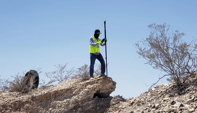
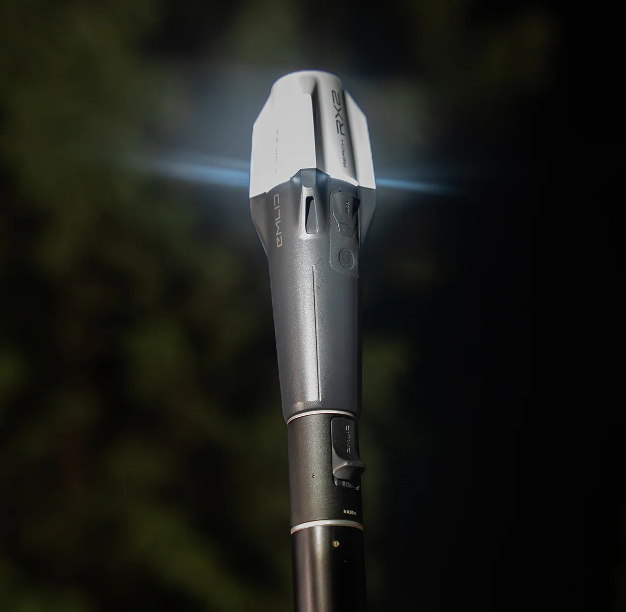
Accurate on the tilt
The RX2 maintains centimeter accuracy even at high tilt angles. Perfect for measuring near walls, slopes, or tight spaces without leveling the pole.
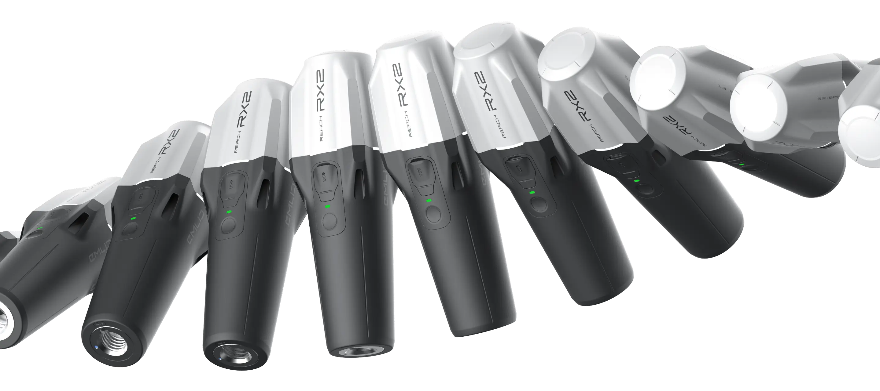
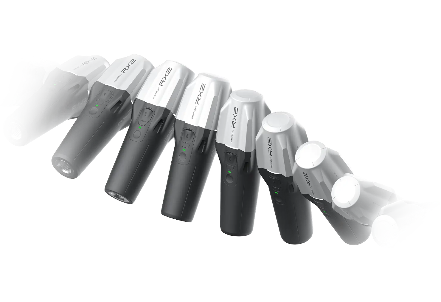
Quick release mount
Designed to secure the RX2 to a pole quickly and without any backlash.
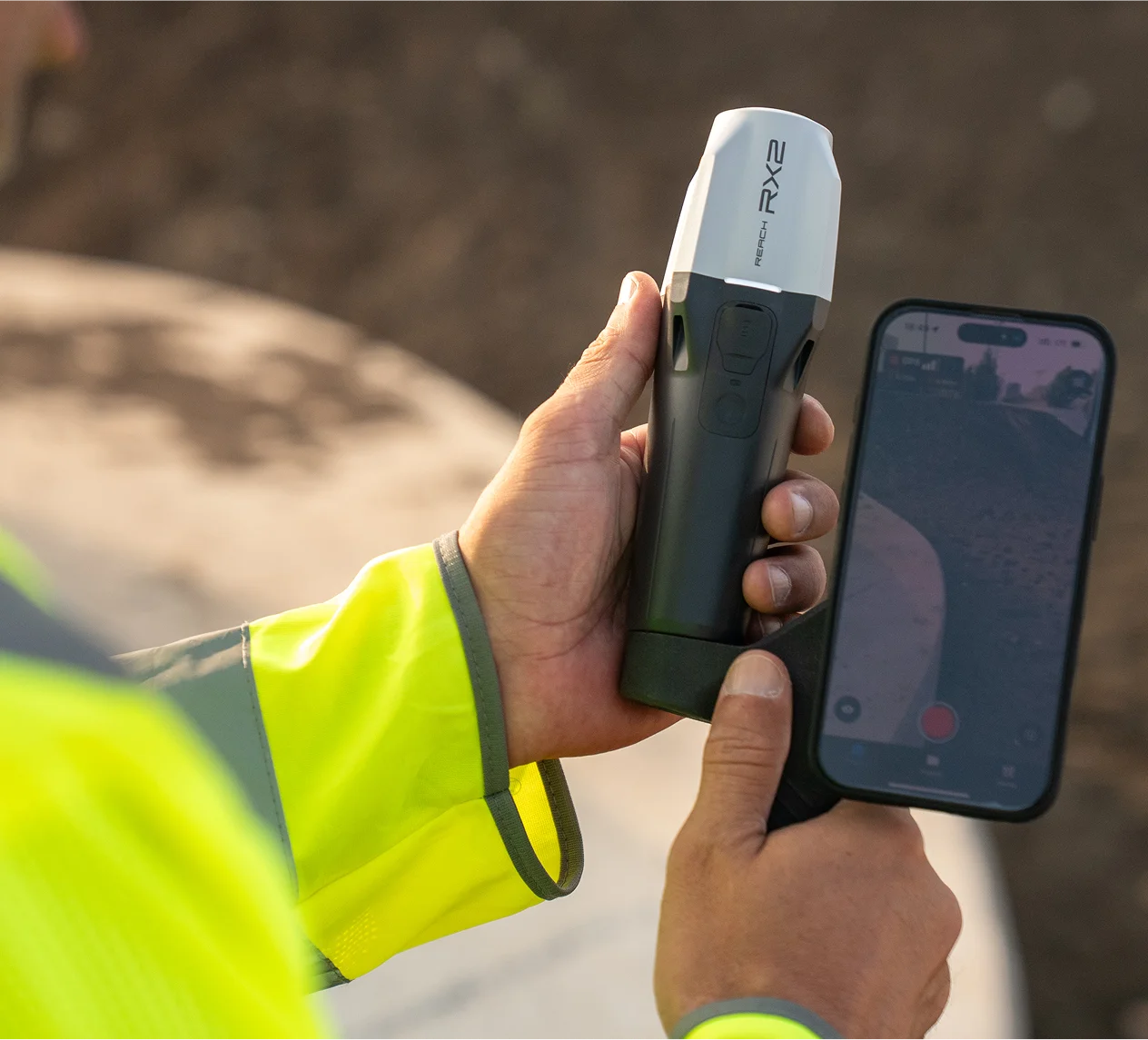
No setup required
Tilt compensation is on after just a short walk. No extra steps or calibration.
.webp)
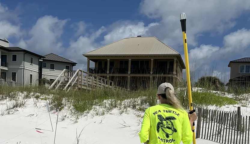
 Read full story