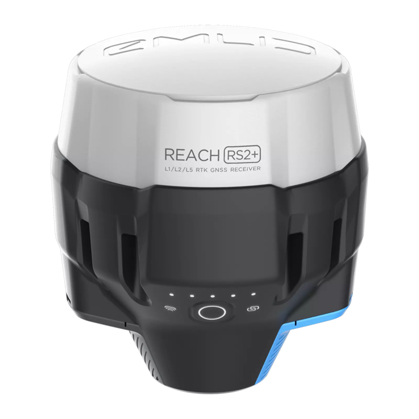
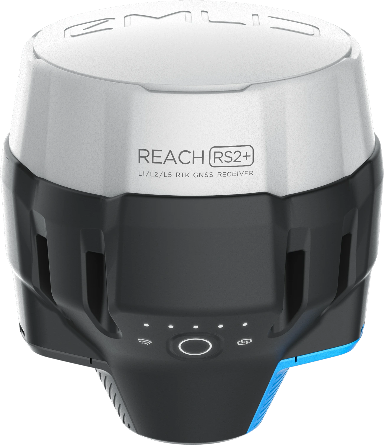
REACH RS2+
Multi-band RTK GNSS receiver with centimeter precision
For surveying, mapping and navigation.
Comes with a mobile app.
LTE modem
Baseline up to 100 km
Update rate up to 10 Hz
$2,699
BuyGets a fix
in seconds
Reach RS2+ gets a fixed solution in just seconds and maintains robust performance even in challenging conditions. Centimeter accuracy can be achieved on distances up to 60 km in RTK, and 100 km in PPK mode.
GPS/QZSS, GLONASS,
BeiDou, and Galileo
L1C/A, L2C, L1OF, L2OF,
B1I, B2I, E1B/C, E5b
PPP
support
Record raw positioning data in the RINEX format for further post-processing. RINEX logs are compatible with OPUS, AUSPOS, and PPP services, so you can get cm-precise results anywhere on Earth. For post-processing, you can use our free PPK software Emlid Studio.
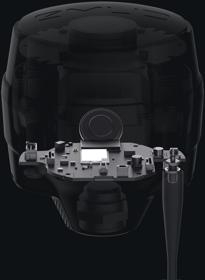
16 GB
160+ days
storage
of logging at 1 Hz
Built-in
LTE modem
Reach RS2+ features a power-efficient LTE modem with 2G/3G fallback and global coverage. Now corrections can be accessed or broadcasted over NTRIP independently, without relying on an internet connection on your phone.
22 hours
on 1 charge
Up to 22 hours of autonomous work when logging data and up to 16 hours as an LTE rover, even in cold weather—no more need to carry spare batteries with you. Reach RS2+ can charge from a USB wall charger or a power bank over USB-C.
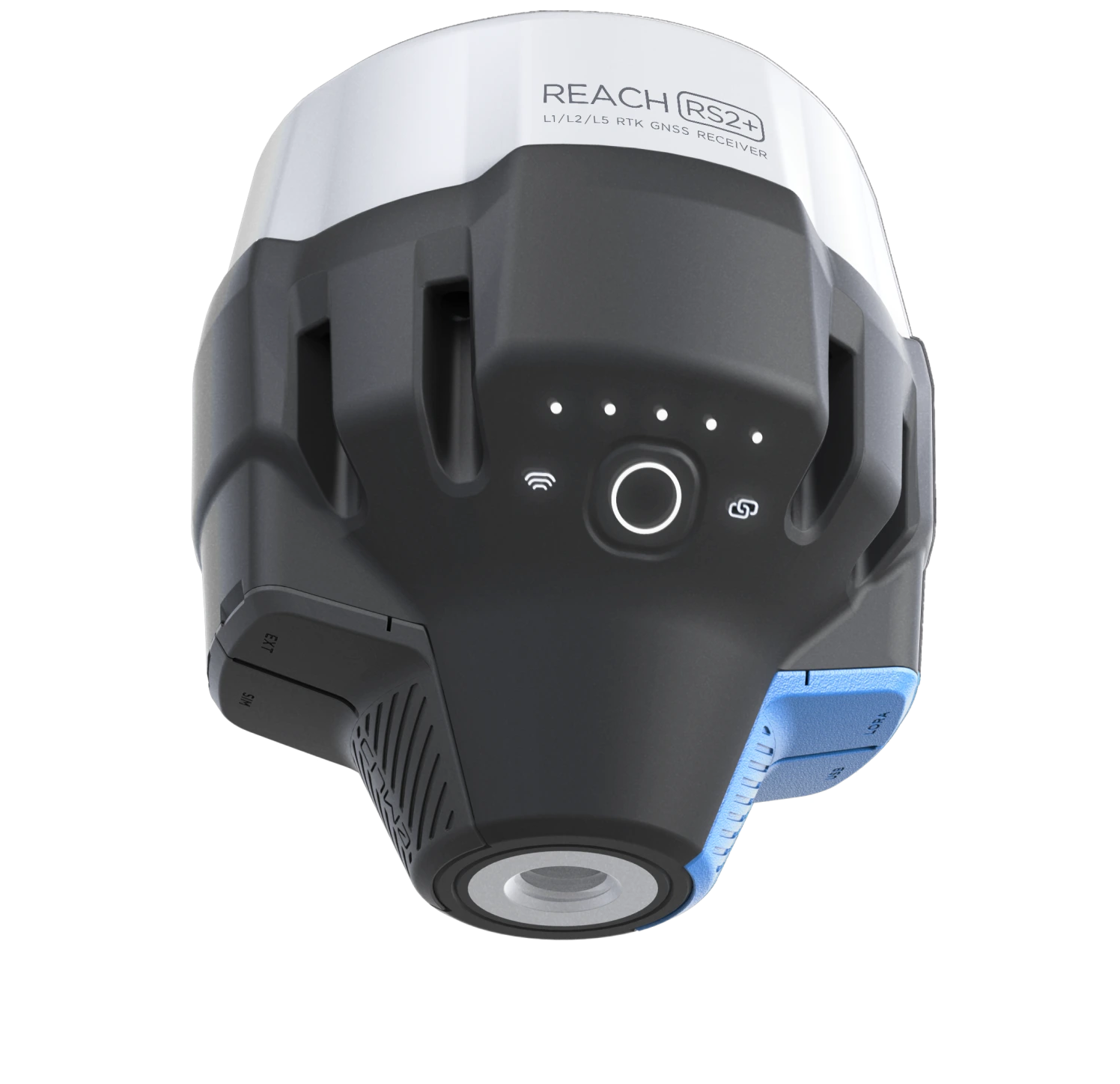
Connectivity
Real-time position
streaming in NMEA
Reach provides data in standard NMEA that is used by most survey and GIS apps. Simply connect your device to Reach over Bluetooth or with a cable, and turn on “Position output” in Emlid Flow.
Reach can turn on and off automatically
Reach is able to turn on and off in sync with an external battery connected over RS-232. This helps when the power button is hard to reach. For example, if the receiver is placed on the roof of a tractor.
Compatible apps
FieldGenius for Android, ESRI Collector, QField and others
Position streaming
Interfaces
RS-232, TCP, Bluetooth
NTRIP or another Reach
as a base station
Reach RS2+ needs a base station as a source of corrections. That’s a requirement for centimeter precision in RTK and PPK. Base might be either another Reach RS2+ receiver or an NTRIP service. VRS is also supported.
Reach RS2+ works seamlessly with other Reach receivers over any link.
Input and output corrections
Interfaces
LoRa 868/915 MHz, NTRIP
Formats
RTCM3
Max distance from a base
Over 60 km in RTK
100 km in PPK
Any place on Earth with PPP
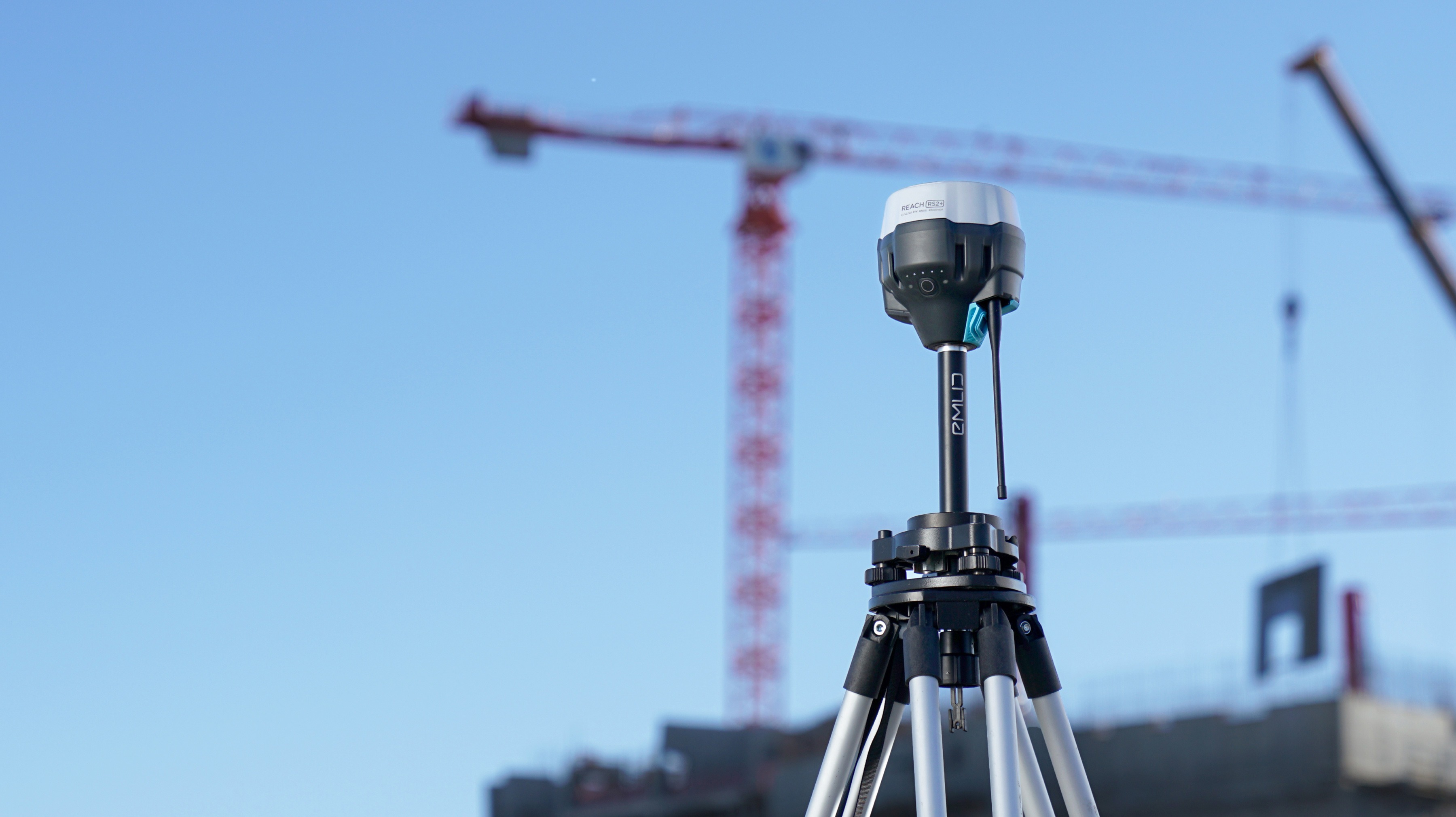
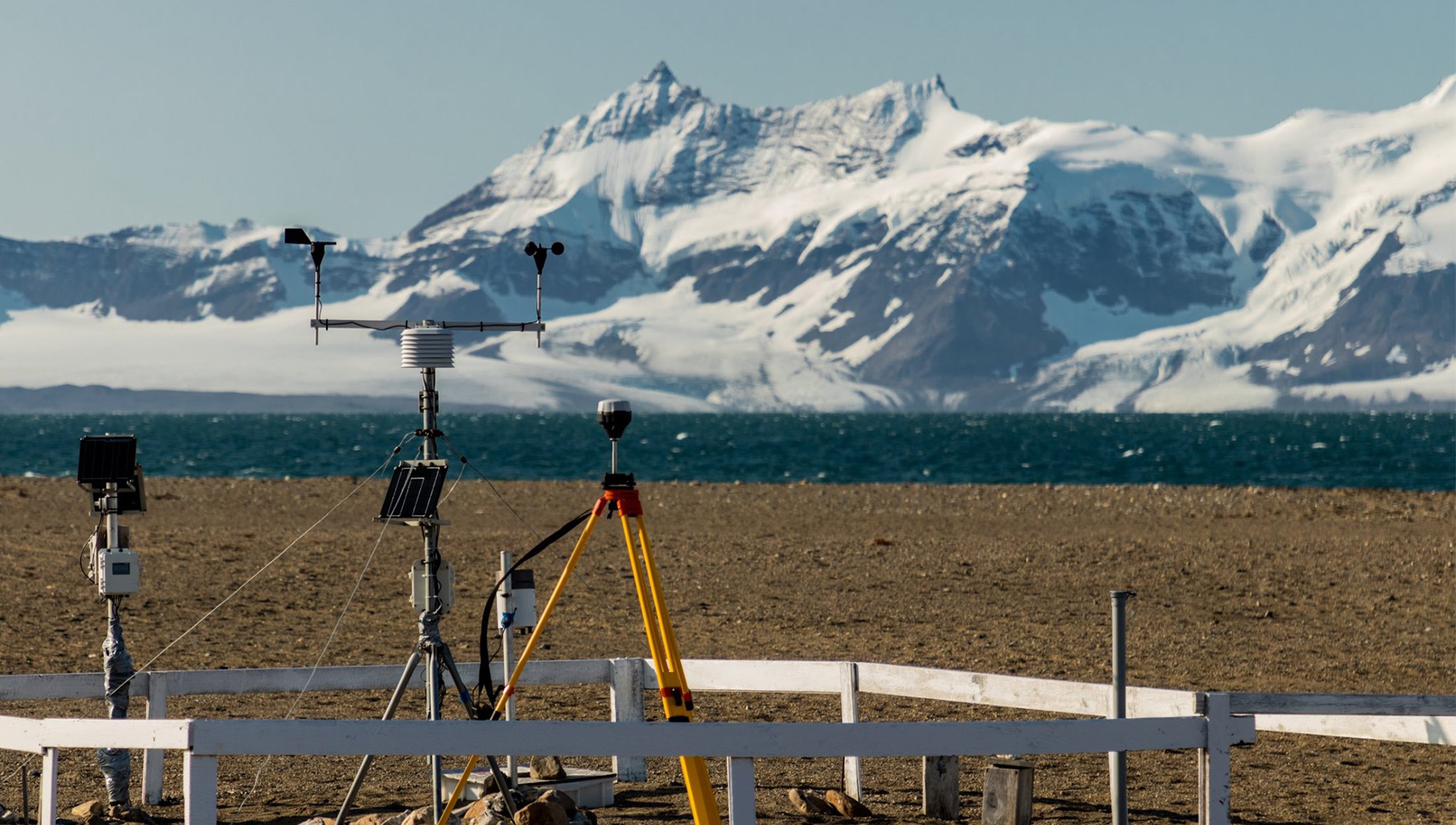
Engineered
to be tough
Reach RS2+ is designed to work even in the most challenging environments.
IP67
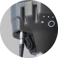
RS2+ is waterproof up to 1 m depth. All connectors are completely sealed and protected from water and dust with silicone plugs.
-20 to +65 ºС
We extensively tested Reach RS2+ in conditions that simulate coldest winters and hottest summers.
Polycarbonate body
Polycarbonate, an extremely durable material that is used in bulletproof glass, makes Reach RS2+ impact-resistant.
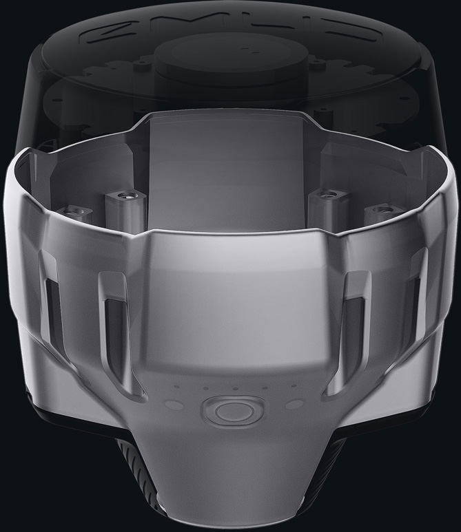
Covered with
elastomer
This is a rubber-like material that forms a shock absorber around the whole device. In a sophisticated manufacturing process, elastomer is permanently bonded to the polycarbonate base so that if your bipod falls over, Reach RS2+ will bump off with no marks left.
LoRa radio
868/915 MHz
Frequency range
Up to 8 km
At only 100 mW
300% more range
Compared with FSK radios at the same power
LoRa Spread Spectrum modulation can work on distances up to 4 times longer compared with traditional FSK radios at the same power output. This gives Reach RS2+ robust radio performance without sacrificing battery life. LoRa radio is used to connect rover to base when Internet-delivered corrections are not available.
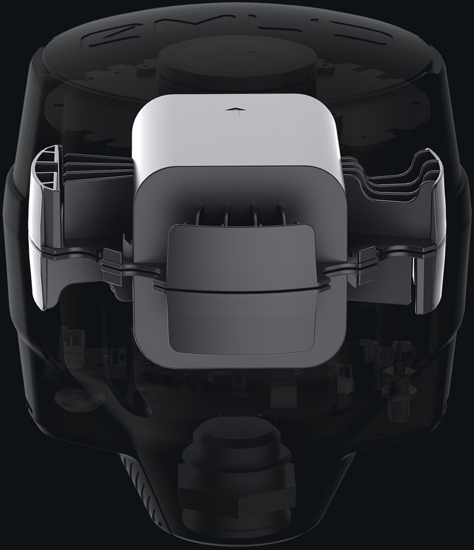
Industrial battery
LiFePO4
Industrial battery that handles both high and low temperatures well.
USB-C
USB-C
2 000+ cycles
of charging and discharging while maintaining original capacity.
Reach RS2+ works for up to 22 hours in static logging and up to 16 hours in RTK with cellular on. You don't need to worry about having spare batteries or replacing them in the field. Hot-swaps are a thing of the past.
Compact and lightweight
126 х 142 mm
Fits in a small bag
950 g
Weighs less than
a typical survey pole
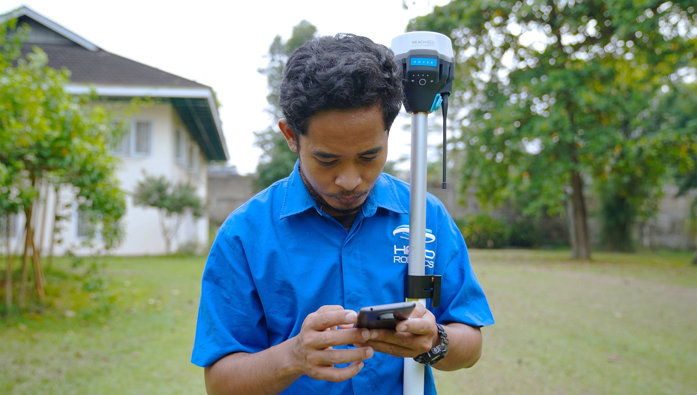
Comes with software
for the field and the office
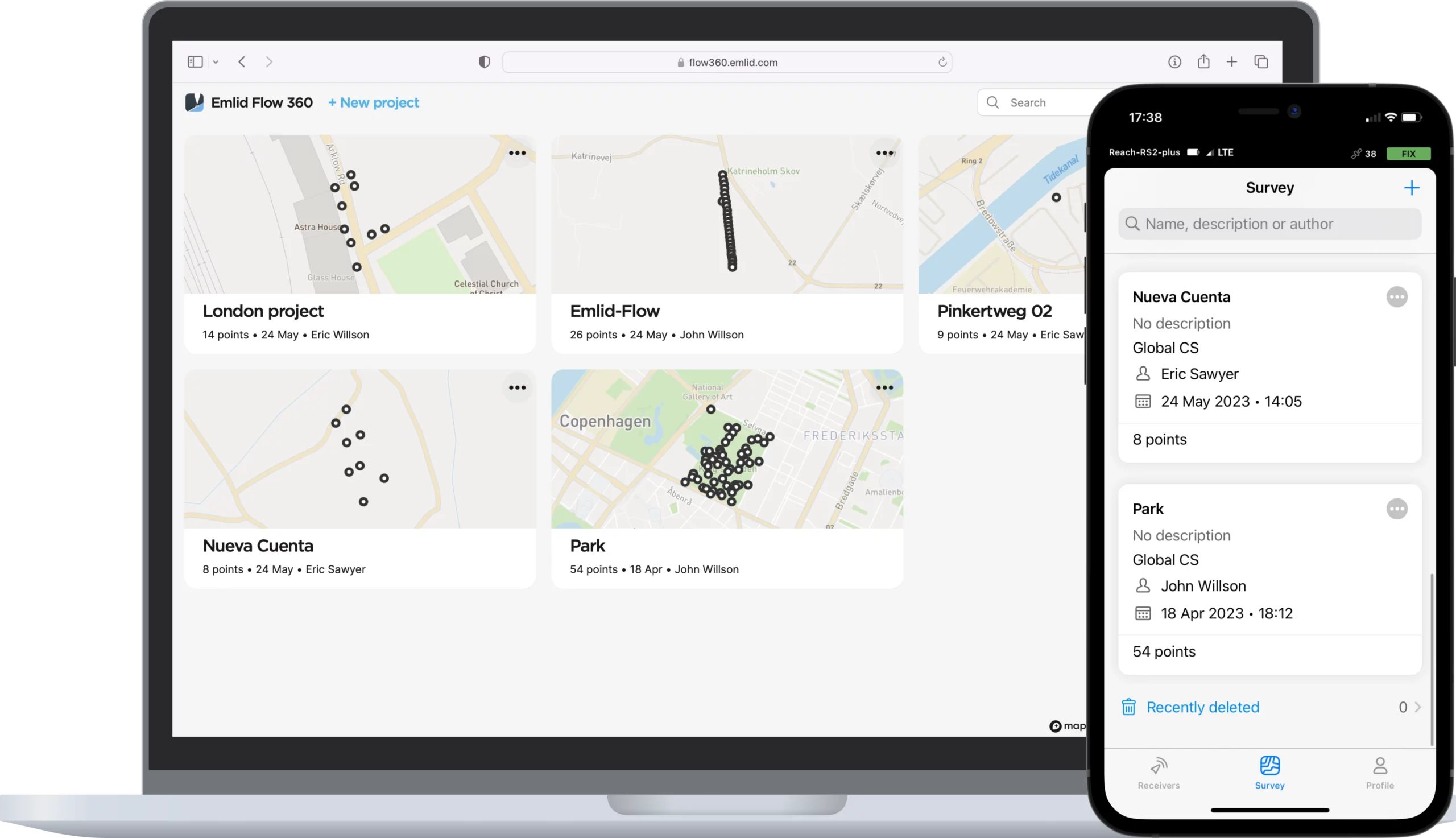
Emlid Flow efficiently manages all field-related tasks, including receiver configuration, RINEX logging, data collection, and stakeout.

The basic features are available for free to all users. Upgrade your Emlid Flow and Flow 360 with a single subscription.
 Base and rover setup
Coding
Points, lines, and polygons
Inverse & Traverse
WMS layers
DTM support
Stakeout reports
CSV, DXF, SHP, and KML
Base and rover setup
Coding
Points, lines, and polygons
Inverse & Traverse
WMS layers
DTM support
Stakeout reports
CSV, DXF, SHP, and KML
You can access your survey data via the cloud-based Emlid Flow 360. It allows you to prepare, manage, and export your projects from a browser.
The basic features are available for free to all users. Upgrade your Emlid Flow and Flow 360 with a single subscription.
Prepare and manage projects
Instantly share data between field and office
Always have a backup of your work
Our free post-processing software for macOS and Windows.

Learn more about Emlid Studio here.
Kinematic processing
Static processing
RTK Drone data processing
Raw data analysis
Stop & Go with Emlid Flow
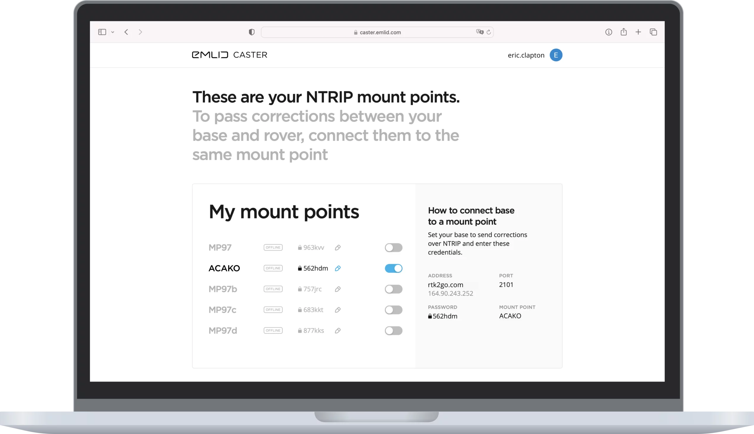
Connect up to 10 rovers to your base station via the internet or set up your own NTRIP network with Emlid Caster.
Learn more about Emlid Caster here.
Available for free and works worldwide
Works with Reach and other receivers with NTRIP support
RTCM3 and other correction formats support
Up to 5 bases and 10 rovers at the same time
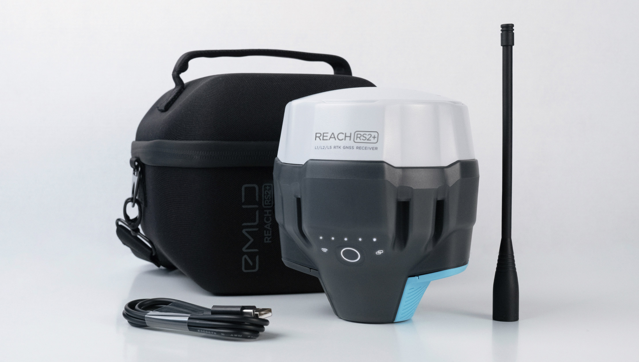
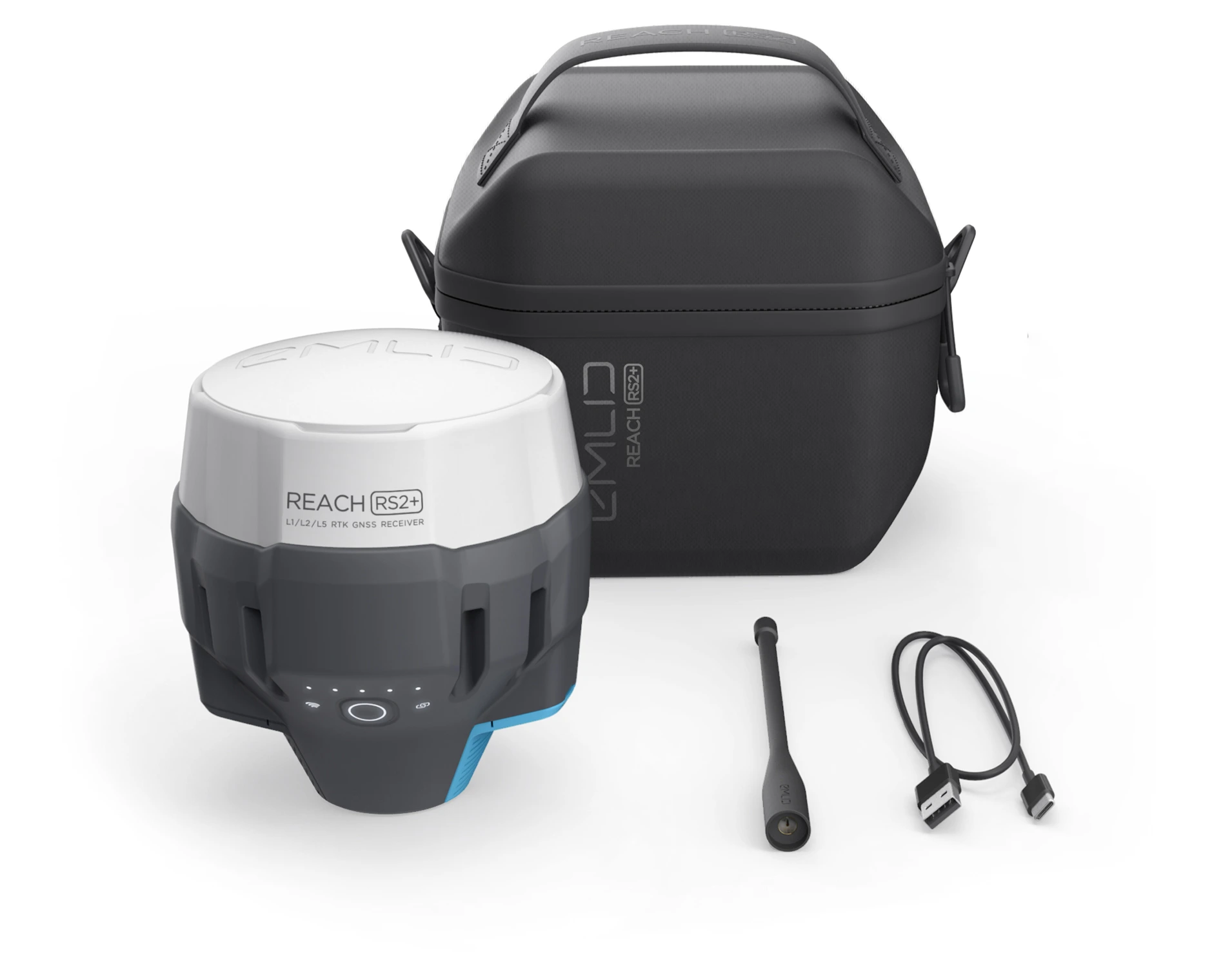
Comes with a LoRa antenna,
USB cable, and a carrying case with a strap
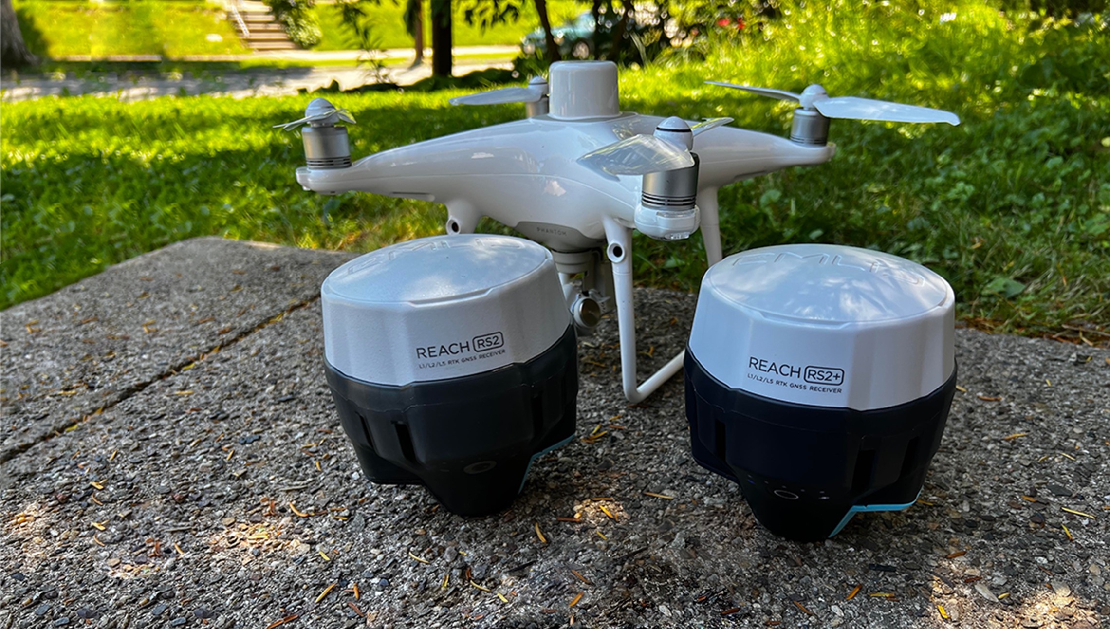
Reach RS2+ is the evolution
of Reach RS2 receiver
Emlid support
Community forum
Join the Forum and Facebook User Group to get in touch with Emlid team, get tips and insights, and build connections with Emlid users from around the world.
To get help general questions and configuration, contact our application engineers directly via Facebook.
Tutorials
Quickstart guides and comprehensive feature overview. Step-by-step tutorials covering most common applications. Regularly updated by our support team based on the most frequently asked questions.
Reach
in the Emlid Store
The basic features of Emlid Flow are available for free to all Emlid users.
Specification
135 kb
Mechanical
- Dimensions 126 x 126 x 142 mm
- Weight 950 g
- Operating tº -20 to +65 ºC
- Ingress protection IP67
Electrical
-
Autonomy 16 hrs as LTE RTK rover,
22 hrs logging - Battery LiFePO4 6400 mAh, 6.4 V
- External power input 6–40 V
- Charging USB Type-C 5 V, 3 A
- Certification FCC, CE
Positioning
-
Static H: 4 mm + 0.5 ppm
V: 8 mm + 1 ppm -
PPK H: 5 mm + 0.5 ppm
V: 10 mm + 1 ppm -
RTK H: 7 mm + 1 ppm
V: 14 mm + 1 ppm - Convergence time ~5 s typically
Connectivity
-
Lora Radio
Frequency range
Power
Distance 868/915 MHz
0.1 W
Up to 8 km -
LTE modem
Regions
Bands Global
FDD-LTE: 1,2,3,4,5,7,
8, 12, 13, 18, 19, 20,
26, 28, 66
TD-LTE: 38,40,41
UMTS (WCDMA/FDD):
1,3,2,4,5,6, 8,19
Quad-band, 850/1900,
900/1800 MHz SIM card Nano-SIM -
LTE modem
Regions
Bands Global
FDD-LTE: 1,2,3,4,5,7,
8, 12, 13, 18, 19, 20,
26, 28, 66
TD-LTE: 38,40,41
UMTS (WCDMA/FDD):
1,3,2,4,5,6, 8,19
Quad-band, 850/1900,
900/1800 MHz SIM card Nano-SIM - Wi-Fi 802.11 b/g/n
- Bluetooth 4.0 (BR/EDR + LE)
- Ports RS-232, USB Type-C
Data
- Corrections NTRIP, RTCM3
- Position output NMEA, LLH/XYZ
- Data logging RINEX
-
Internal storage 16 GB
160+ days of logging at 1 Hz
GNSS
-
Signal tracked GPS/QZSS L1C/A, L2C
GLONASS L1OF, L2OF
BeiDou B1I, B2I
Galileo E1B/C, E5b - Number of channels 184
- Update rates up to 10 Hz
Updates
Do you want to receive news from us?
Subscribe to our newsletter.


Have a question?
Ask our team
Fill in the contact form, and we will reply within a working day (9:00-18:00 CET).
Direct Dial: +1 817 865 3334 (ex. 101)
Alternatively, you can text us here: