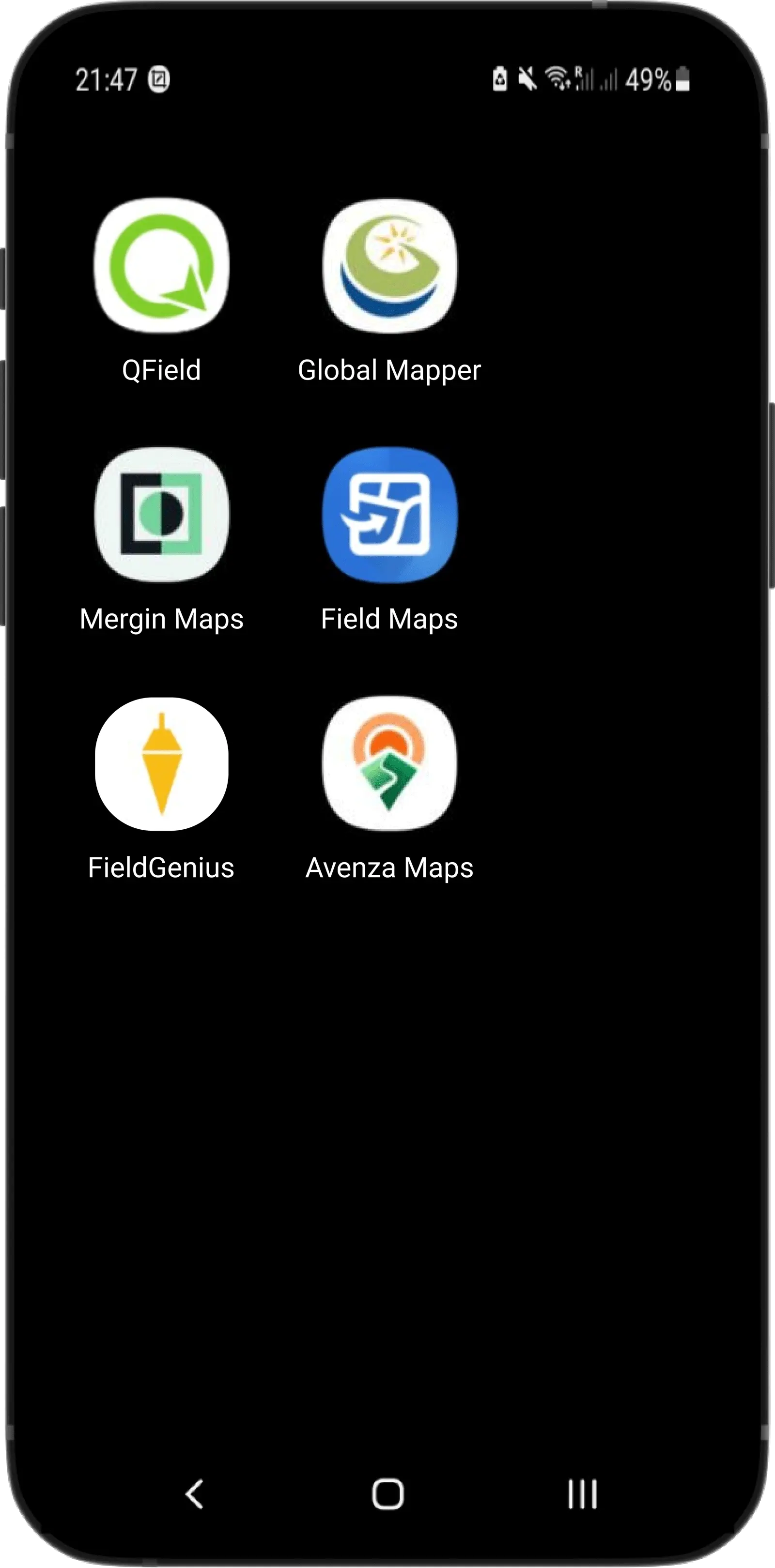
us

Reach RX

Pocket-sized RTK rover.
Perfect for GIS, utility inspection, landscaping, and more.

Now on iOS

$1999

Buy
250 g

Compact and powerful

Centimeter accurate data

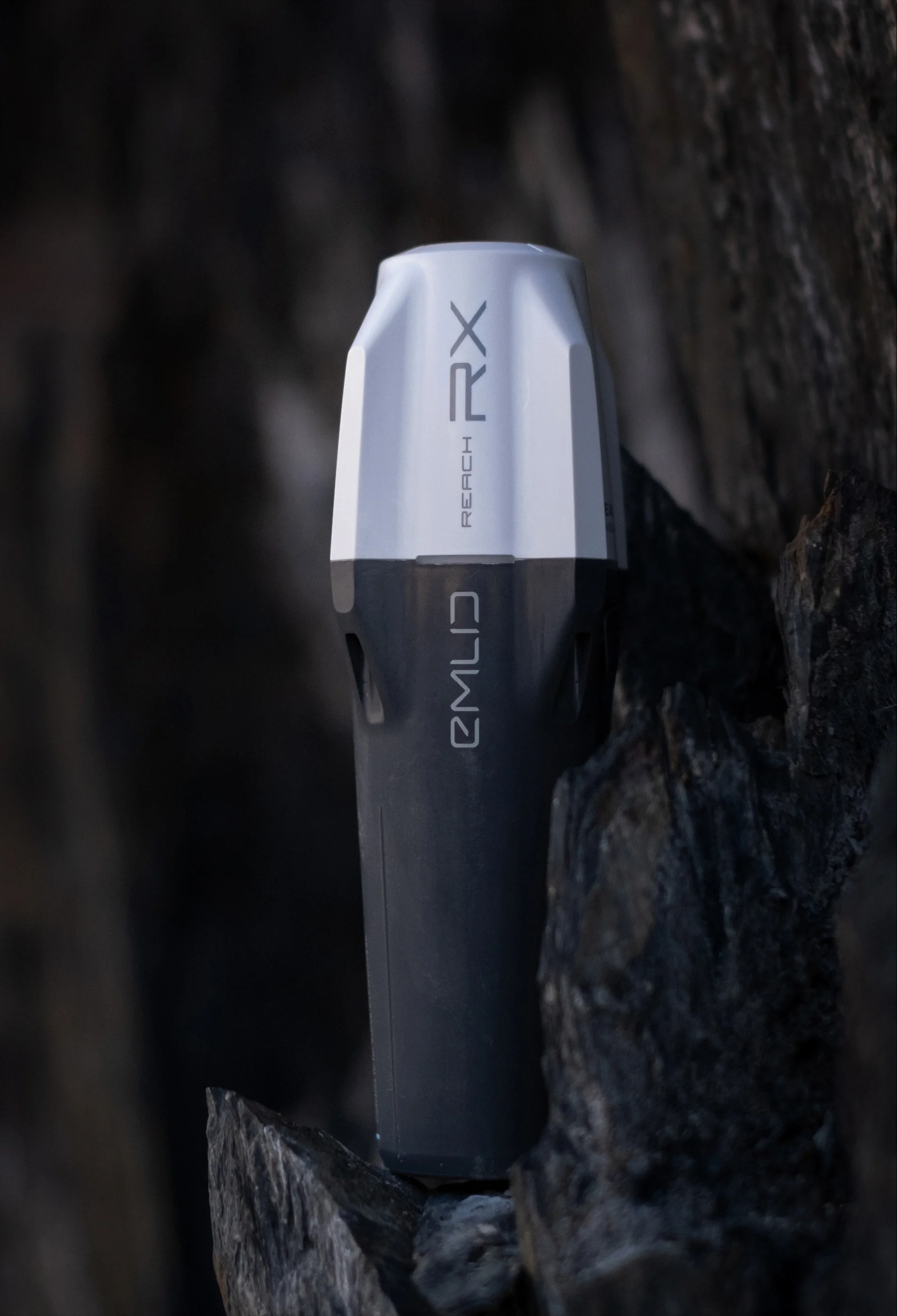
Tracks GPS / QZSS / Galileo / GLONASS / BeiDou. Gets a FIX in up to 5 seconds.

Just add NTRIP

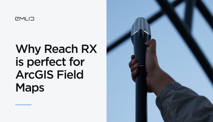
Reach RX is a network rover. Gets corrections from any NTRIP service in RTCM3. No settings to get wrong.

No training is required

Saves time for professional surveyors and non-surveyors—no additional setup.

iOS & Android

iOS & Android

Survey
with Emlid Flow

A mobile app designed
for efficient land surveying.

  • Data collection and stakeout
  • Verified coordinate systems library
  • SHP, DXF, CSV, and KML
  • Inverse & Traverse
  • Survey codes
  • Localization
  • Auto collection

Integrate
with 3rd-party applications

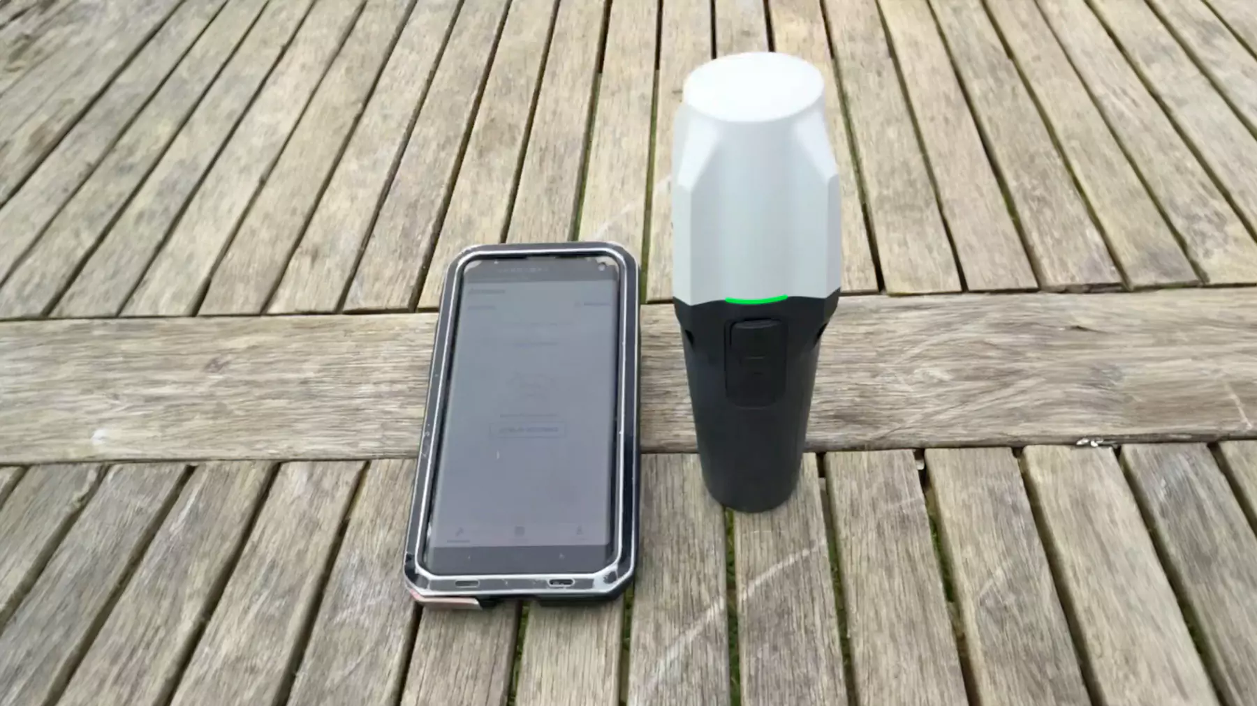
Reach RX uses Bluetooth and integrates
with surveying apps as a GPS receiver.

  • ArcGIS Field Maps
  • QField
  • MicroSurvey FieldGenius
  • Global Mapper
  • Mergin Maps
  • Avenza Maps
IP68

Robust by design

Withstands -20 to +65ºC

Reach RX works in the coldest winters and hottest summers.

16 hours on one charge

2 days of work in less than 3 hours of charge. It can be charged from any USB port or power bank.

Waterproof

The Reach RX is well protected from water and dust with an IP68 rating and silicone plugs.

Use cases

Trusted by professionals

Responsive image

Drone mapping

Rory Gillies and Shetland Flyer Aerial Media

Rory, an aerial mapping and GIS specialist from the UK, and his team shared their experience collecting ground control points (GCPs) in a hillside area. They set up a Reach RS2+ base connected to the internet via a SIM card and transmitted corrections to the Reach RX using the free Emlid NTRIP Caster. The precision of the corrections allowed him to conduct several stakeouts and verify the locations in QGIS with high accuracy.

...read more
Responsive image

Construction Design

Joe Lawson

Joe, who runs a surveying services company in the UK, utilized the Reach RX GNSS rover, a FARO scanner, and a total station to pinpoint the location of a wall in a river for the design of a new eel pass. He subsequently processed the survey data using 3D modeling software.

...read more

Construction Inspection

Brent Wiebe

Brent, a surveyor from Canada, specializes in topographic surveys and construction layouts. He used the Reach RX to verify the placement of screw piles for a concrete building's foundation and to mark out future roads and rights-of-way for the building and its utilities.

His setup included the Reach RX GPS receiver and Reach RS2, using the RS2 as a base to stream corrections via Emlid Caster, ensuring uninterrupted service with flawless results. The data collected at the job site was later processed using software programs like AutoCAD Civil 3D, QGIS, and Revit.

...read more

Underground utilities

SwiftNav, Deutsche Telekom, ITS Geo

Swift Navigation offers the Skylark™ Precise Positioning Service. The service uses the NTRIP protocol and satellite data to provide RTK corrections worldwide. It's fully compatible with Reach RX, enabling centimeter-level accuracy and fast fix times.

In a recent Deutsche Telekom fiber deployment project, the integrated solution was used to achieve precise positioning. Workers used Reach RX receivers and the Skylark service along with the GeoAce app to accurately map trench lines, allowing for safe digging without the need to involve licensed surveyors. This setup ensured high accuracy and efficiency, demonstrating the effectiveness of the combined technologies in a challenging environment.

...read more

Road Design

Michael Lambert

Michael, a virtual design and construction manager from Texas, needed to conduct a topographic and planimetric survey for a Williamson County road project to develop a 3.5-mile rehabilitation and extension design. He used the Reach RX to gather existing features like flowlines and surface utilities in the construction site and set ground control points for drone mapping. To create a planimetric map, Michael processed the collected data using Carlson and SimActive software.

...read more

Use Reach RX with your own base and Emlid Caster

Don't have an NTRIP station near you? Run your own NTRIP service with your own base and free Emlid Caster. You can use any GNSS \ GPS receiver with NTRIP and RTCM3 support. For example, Reach RS3.

Pix4D x Emlid Scanning kit

Solution for making 3D scans in minutes.

– Reach RX and accessories

– PIX4Dcatch

– PIX4Dcloud

– PIX4Dcatch training

$3990

Buy

Network Base and Rover Kit

If you don’t want to depend on a 3rd-party NTRIP service.

– Reach RX

– Reach RS2+

– Emlid NTRIP Caster

$4498

Buy

Get your Reach RX

  • – Reach RX
  • – USB Type-C cable
  • $1999

  • Buy

Shipping from Chicago

2-3 days by USPS Priority Mail Express
2-7 days by FedEx, UPS

Find local dealers

Need help?

Tutorials

Watch quickstart guides and comprehensive feature overviews.

The Emlid support team regularly updates all materials based on the most frequently asked questions and popular workflows.

Lifetime support

To get help with general questions and configuration, contact our Application Engineers via Facebook or E-mail.

Community

Join the Forum and Facebook User Group to get in touch with the Emlid team, get tips and advice, and connect with Emlid users from around the world.

Specification

Mechanical

  • Dimensions 172 x 51 x 51 mm
    (6,77 x 2,00 x 2,00 pol)
  • Mount 5/8”-11 UNC
  • Weight 250 g (8.81 oz)
  • Operating tº -20 to +65 ºC (-4 a 149 °F)
  • Ingress protection IP68 (maximum
    depth of 1.5 meters
    up to 30 minutes)

Electrical

  • Autonomy Up to 16 hrs
  • Battery Li-Ion 5200 mAh,
    3.6V, 18.72 Wh
  • Charging USB Type-C, 5V 2A
  • Certification FCC, CE, IC

Positioning

  • RTK H: 7 mm + 1 ppm
    V: 14 mm + 1 ppm
  • Convergence time ~5 s typically

Connectivity

  • Communication interface Bluetooth 4.2
  • Ports USB Type-C

Data

  • Input data format RTCM3
  • Input data protocol NTRIP
  • Position data format NMEA

GNSS

  • Signal tracked GPS/QZSS L1C/A, L2C,
    GLONASS L1OF, L2OF,
    BeiDou B1I, B2I,
    Galileo E1B/C, E5b
  • Number of channels 184
  • Update rate 5 Hz

Have a question?
Ask our team

Fill in the contact form, and we will reply within a working day (9:00-18:00 CET).

Pre-sale support:
Toll Free: 888-454-1916

Direct Dial: +1 817 865 3334 (ex. 101)

Alternatively, you can text us here: