Any browser
iOS, Android
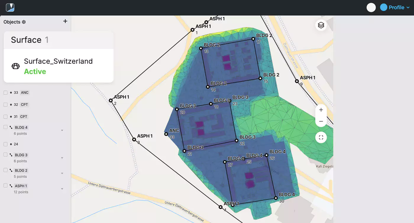
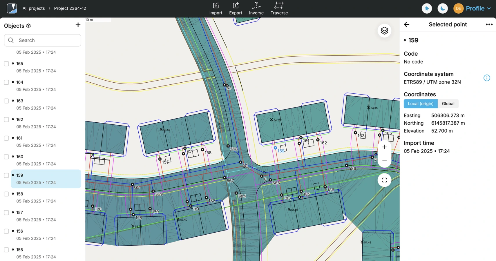
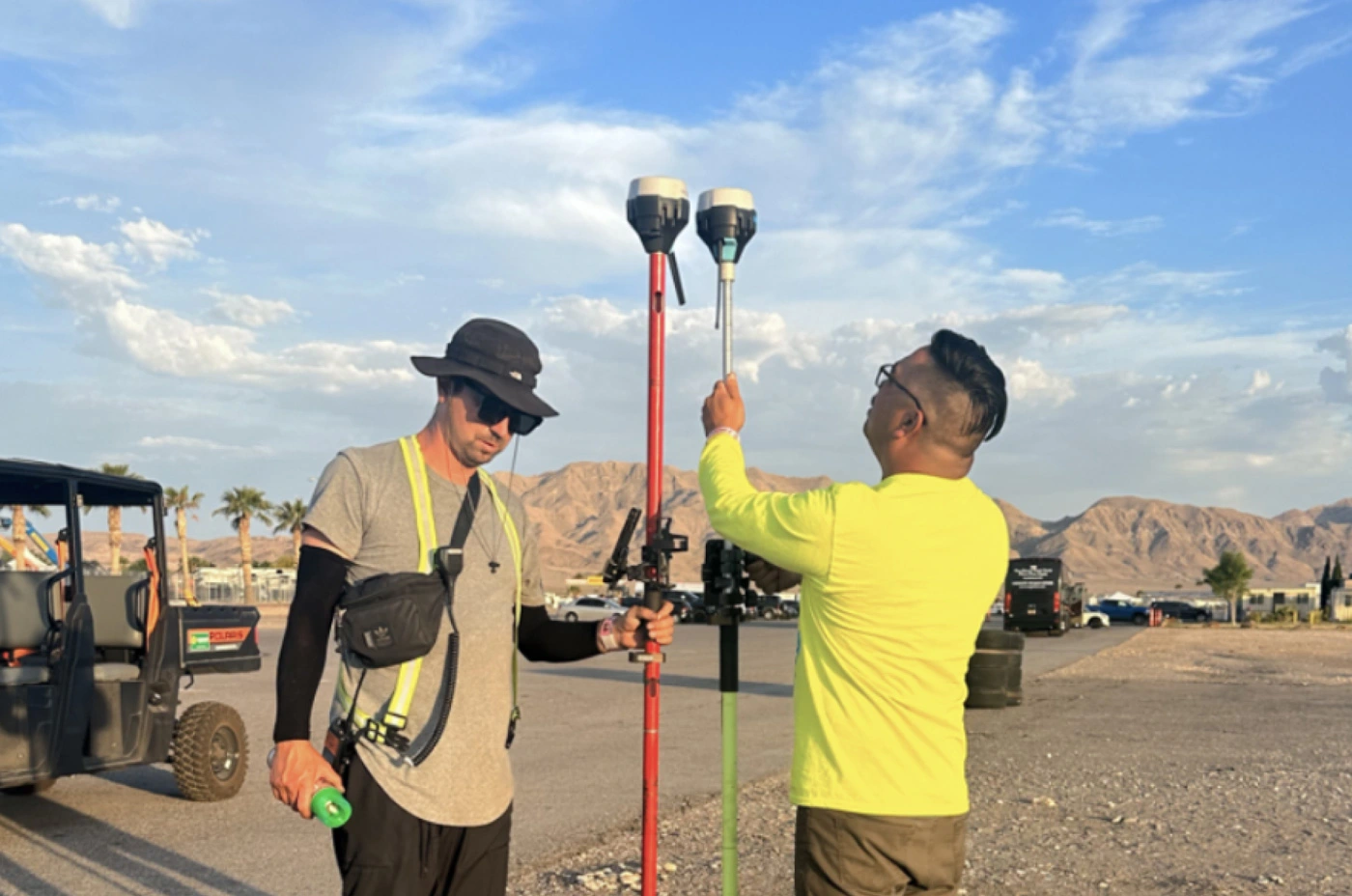
Smart tools from data collection to editing. Whether your project includes thousands of points or just a few, our easy-to-use survey app ensures everything works quickly and doesn't clutter up the map. 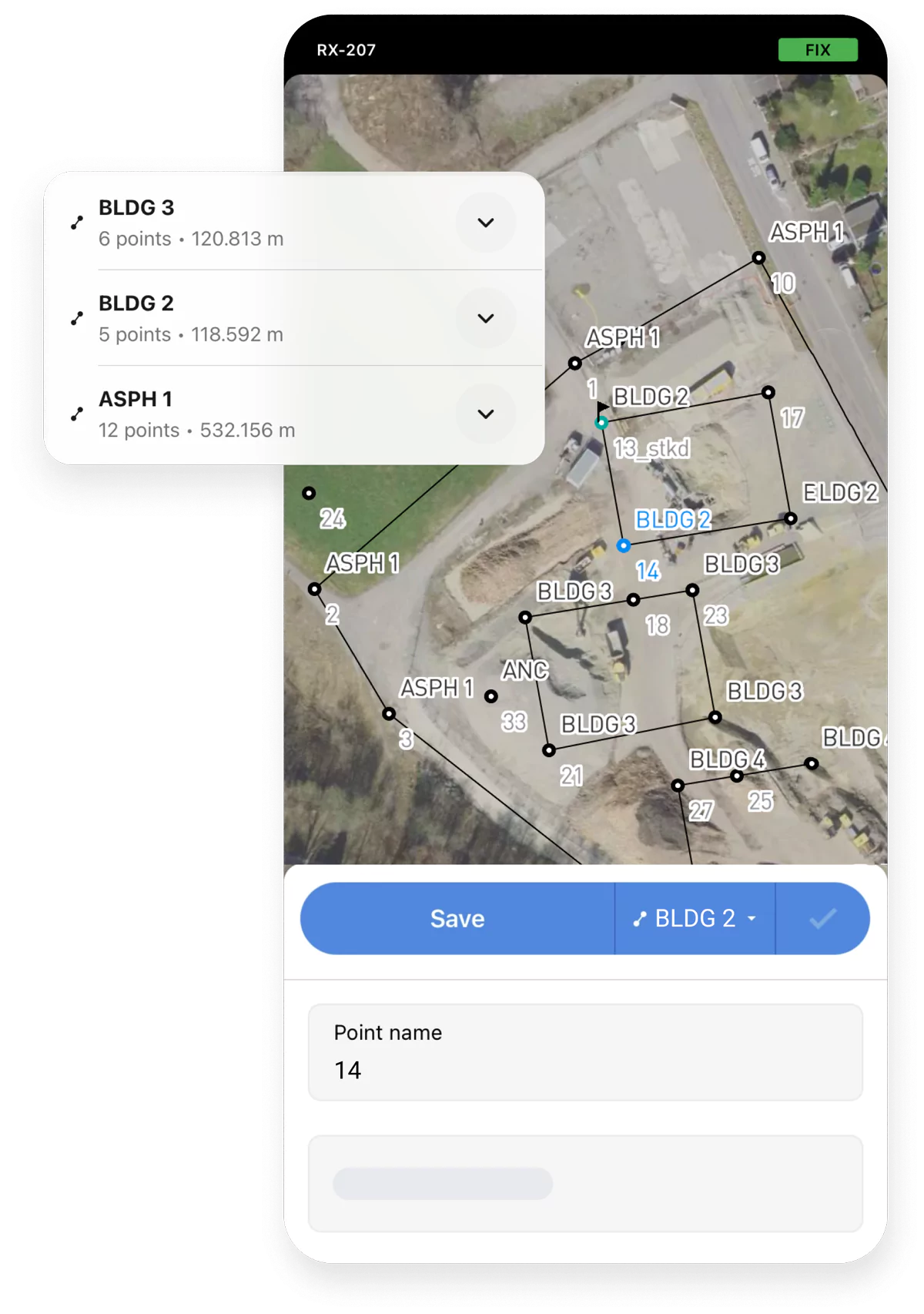
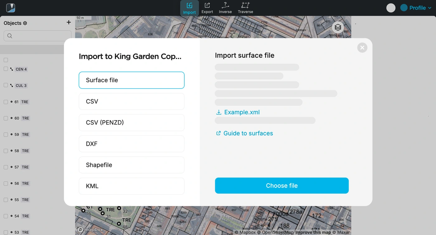
We collected and verified all the projections, grids, and geoids for various parts of the world that we could find. If yours isn't on the list, contact us or add it yourself. 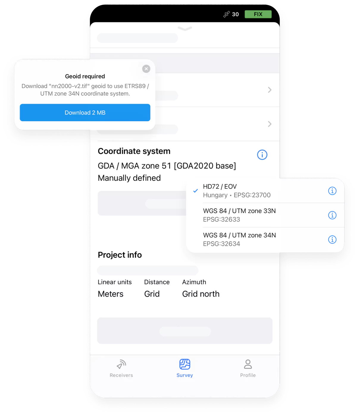
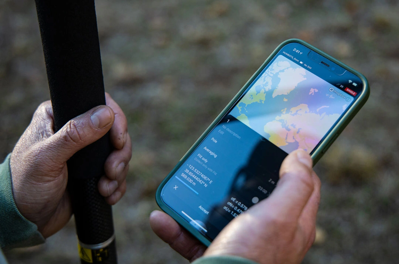
Advanced methods for working with coordinate systems. Ideal for cases where you need to offset your survey data, or when parameters are outdated or unknown. 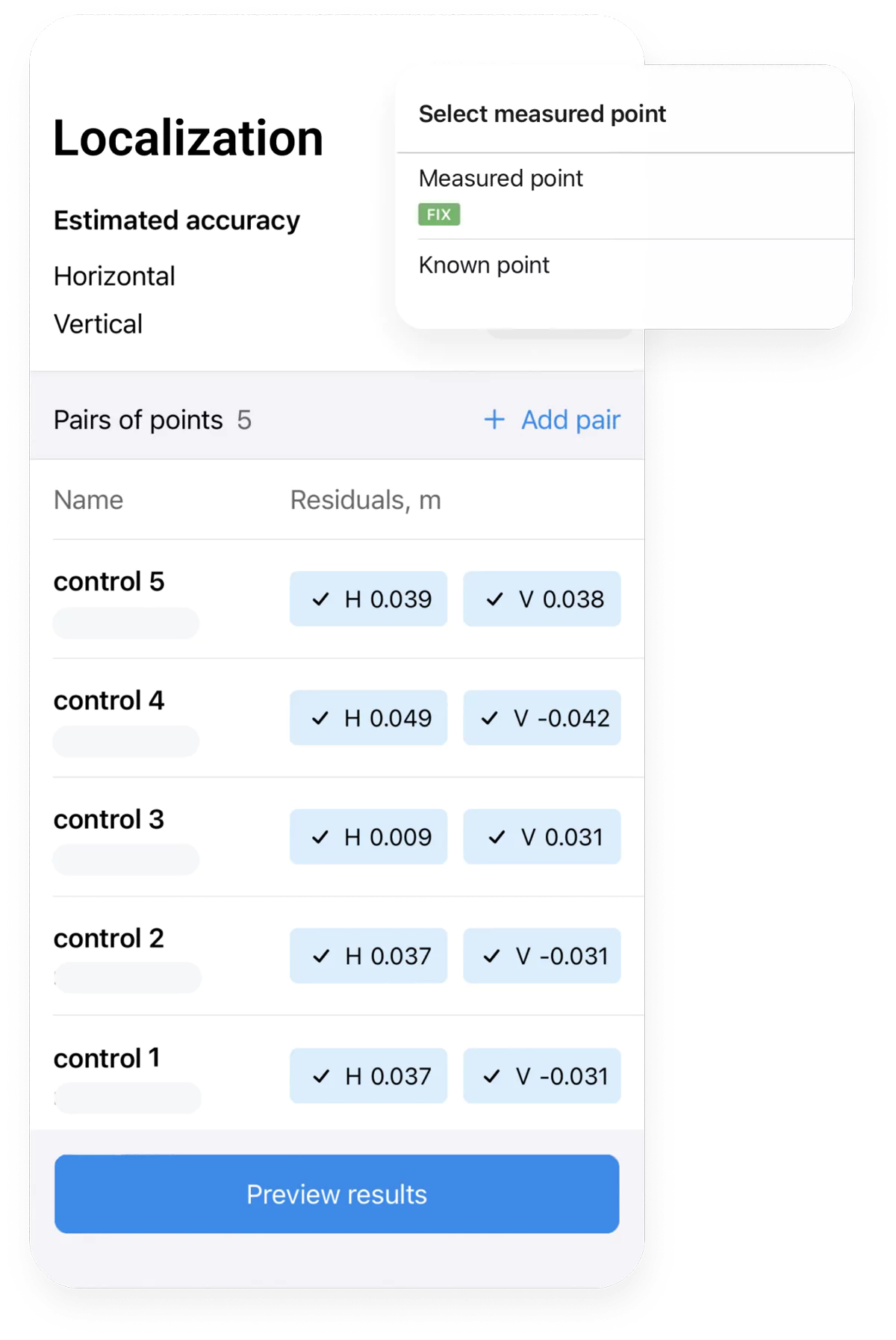
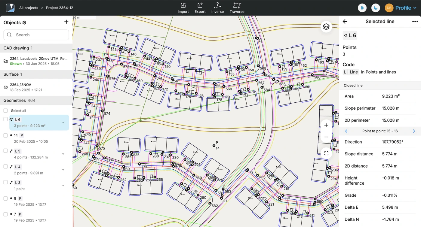
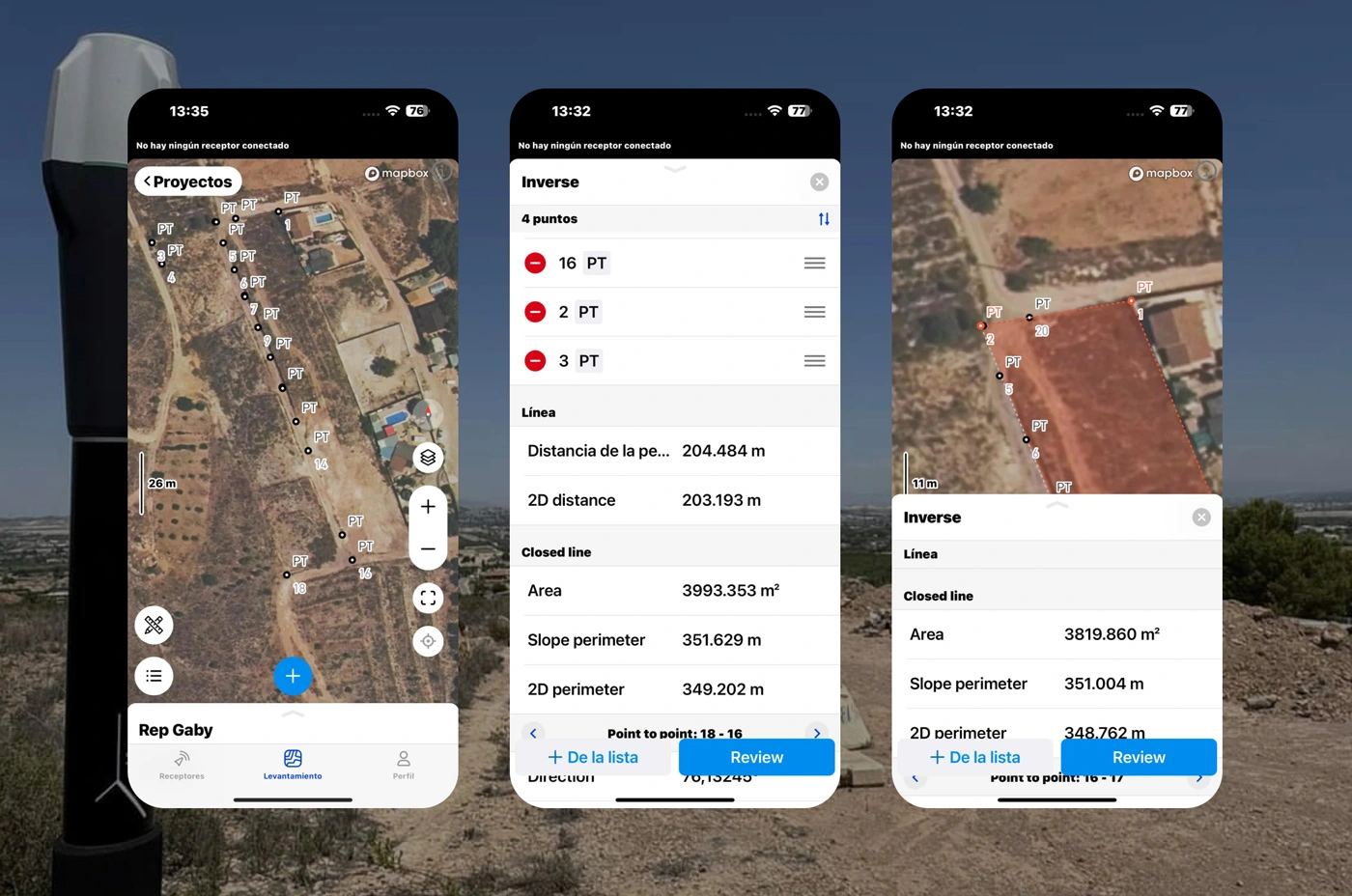
The tools that make land surveys and property analysis easier. Take designs into the field, create geometry on the go, and review data online for informed decision-making. 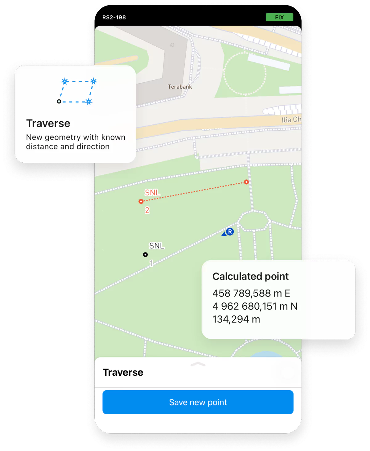
Walk, drive, bike or sail while the app automatically collects data for you, making your land survey tasks simpler than ever. 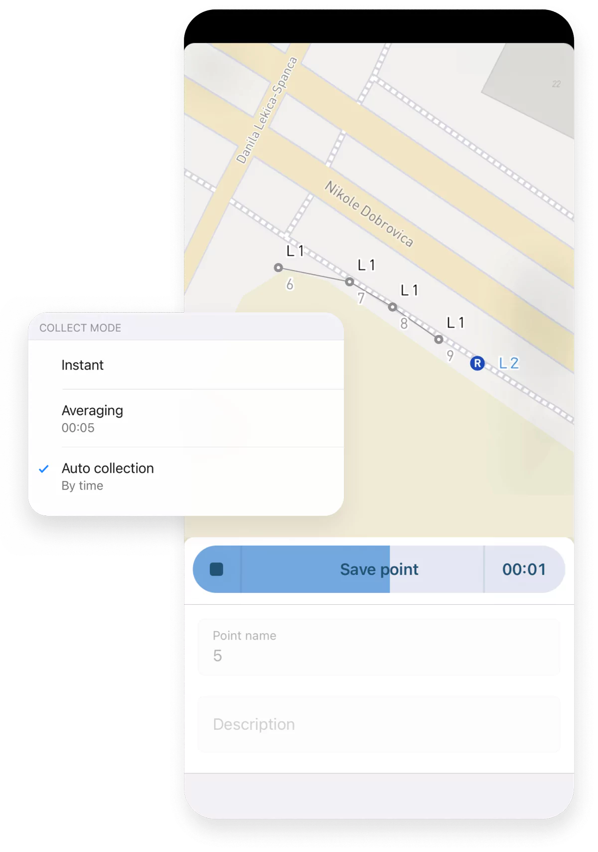


A single plan for Emlid Flow and
Emlid Flow 360.
Fill in the contact form, and we will reply within a working day (9:00-18:00 CET).

Direct Dial: +1 817 865 3334 (ex. 101)
Alternatively, you can text us here: