General contractors
Equip your field teams to handle daily checks while your VDC provides real-time remote oversight. Scale and stay on track without constant site visits or extra overhead.
With Emlid, your field crew can handle 90% of daily QC, grade checks and as-builts with no delay
Equip your field teams to handle daily checks while your VDC provides real-time remote oversight. Scale and stay on track without constant site visits or extra overhead.
Own your schedule and don't wait for a third-party surveyor. Handle your own layout and grade checks, keeping your equipment moving and your margins protected.
Equip your field teams to handle daily checks while your VDC provides real-time remote oversight. Scale and stay on track without constant site visits or extra overhead.
Empower on-site team to handle routine checks. With a minimal learning curve, your crew can verify points themselves and keep the project moving.
Do your own topo and verify elevations against the bid. Knowing the true volumes before you start moving dirt ensures you get paid for every yard.
A misplaced anchor bolt can cost thousands to fix once the concrete is dry. Catch and correct mistakes the moment they happen.
Push the latest design directly to field iPhones. No manual transfers, no old PDFs, and no "guessing" which file is the latest.

Open ecosystem that connects seamlessly with your current site equipment.
Rugged, waterproof, and designed to survive the toughest job sites.
Simple enough for anyone to master in under an hour.
Tilt compensation lets you capture accurate points at any angle.
Talk to our application engineers to find out how Emlid integrates with your workflow to save you time and money.
Request a demo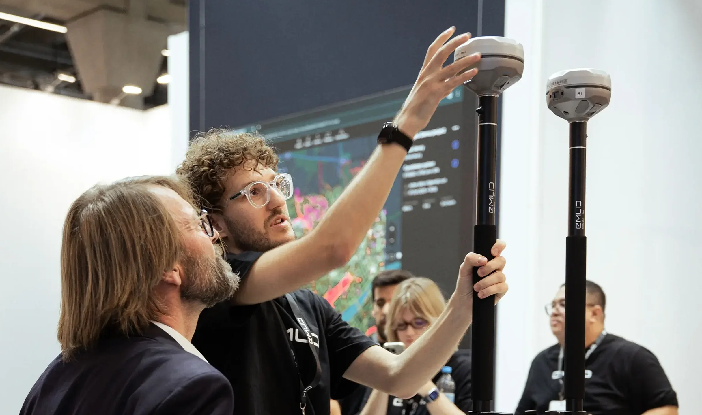


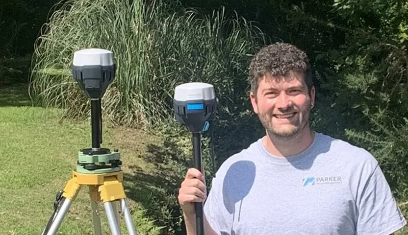
 Read full story
 Read full story
 Full article
Emlid Flow keeps your team connected through real-time cloud sync, accessible via mobile apps on iOS and Android or from any computer using a web browser.
Upload your CAD files for the whole team in just 2 clicks. No cables, no USB sticks.
Field crews receive the latest drawings on their phones immediately.
Monitor field data as it happens, ensuring every shot is accurate.
Flexible support for all popular data formats.
Set it once, and the whole team stays on the same grid.
Essential functionality for individuals or small teams. Get started at zero cost.
Full feature access. Simple per-user billing for growing teams.
For large firms and rotating shifts. Per-rover billing and custom deployment plan.
* – Local taxes may apply
Learn to build without waiting
Discover how you can speed up routine tasks
like anchor bolt checks and grade verifications with our products
Consult with our application engineers
to identify the right hardware and software setup for your site
Hear back in one business day
to discuss your project and schedule an online demo
Tilt compensation
Compact & Lightweight
RTK rover via NTRIP

$2,399
Tilt compensation
Dual camera
Base and rover
Dual-band radio
$4,599
For typical site work, you’ll need reliable survey grade receivers to use as a rover and base, and a tablet or mobile phone for companion software. A stable setup is key—so make sure to use a tripod and GPS poles depending on whether you're working with a base or rover. Poles and tripods are used to mount GPS securely during measurements.
Yes. Reach receivers are easy to integrate into existing survey workflows. They support industry-standard formats like NMEA, RTCM3, and RINEX, and can be integrated with different construction survey equipment that support external precise GPS devices. They are also compatible with 3rd-party GPS survey equipment as base or rover. This makes Reach a smart addition when managing varied equipment needs across your projects.
Emlid Flow supports a complete range of site work workflows tailored to construction, land development, and land surveying professionals. Whether you’re collecting points for a topo survey, staking out a design layout, or capturing data for as-builts, the app delivers smooth, efficient performance in the field.
With CAD file support, you can import DXF files containing points, lines, and polygons, making it easy to work directly from your engineering or survey drawings. During layout or stakeout, Emlid Flow offers intuitive controls for navigating to features with visual guidance.
The app also includes COGO tools (Coordinate Geometry), such as distance and angle calculations, offset points, and intersections—ideal for solving field geometry problems on the fly during siteworks construction and boundary surveys.
All collected data syncs automatically with the Emlid Flow 360 cloud platform, where you can manage projects, view survey data, and export files to your preferred format. This allows seamless coordination between field and office, making it easier to update design layouts, validate as-builts, and support long-term land management.
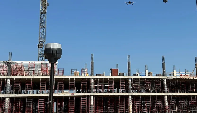
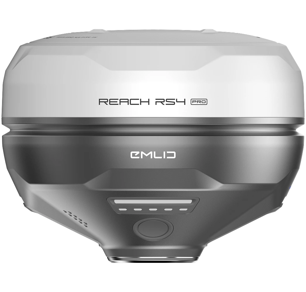
Emlid offers a powerful lineup of GNSS receivers—Reach RX2, Reach RS4, and Reach RS4 Pro—perfect for elevation mapping, site grading surveys, and construction verification.
All devices deliver centimeter-level accuracy and rugged durability, even in challenging field environments. When paired with the Emlid Flow app, they offer complete support for elevation mapping, construction validation, and precision layout workflows common in siteworks construction.
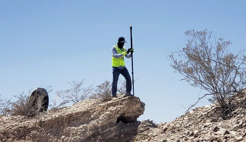
GNSS is ideal for fast, open-area land measuring — perfect for site work, layout, and progress tracking. A robotic total station, on the other hand, uses electronic distance measurement (EDM) and measures angles and distances from a fixed point, which makes it better suited for indoor or obstructed areas and not possible for GPS systems. GNSS doesn’t require a line of sight between points, but it does need a clear view of the sky.